


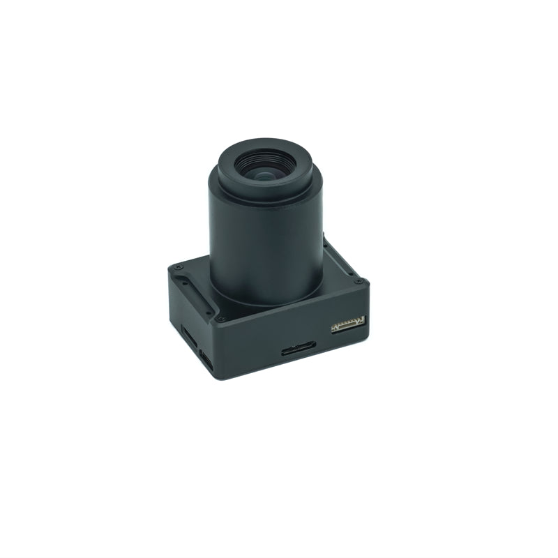
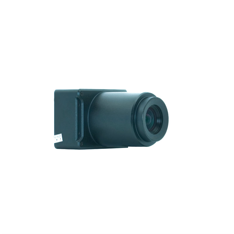
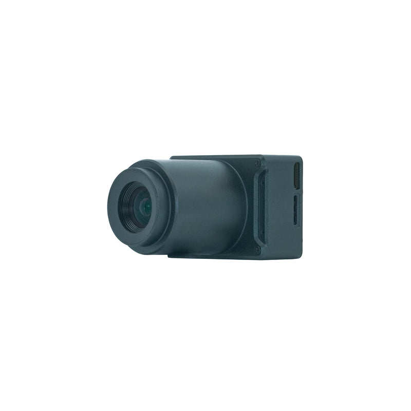
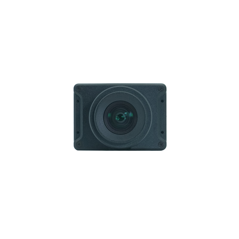
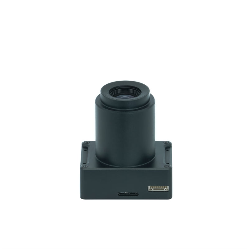
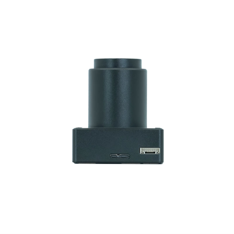
ADTi 26MP 26S V1 mapping camera Surveyor is the most compact 26MP APS-C drone mapping camera, it has 5.8*5.8*2.3 cm size, and 120g in weight, also features:
- APS-C Sony CMOS sensor.
- mechanical shutter combined with fixed focus lenses.
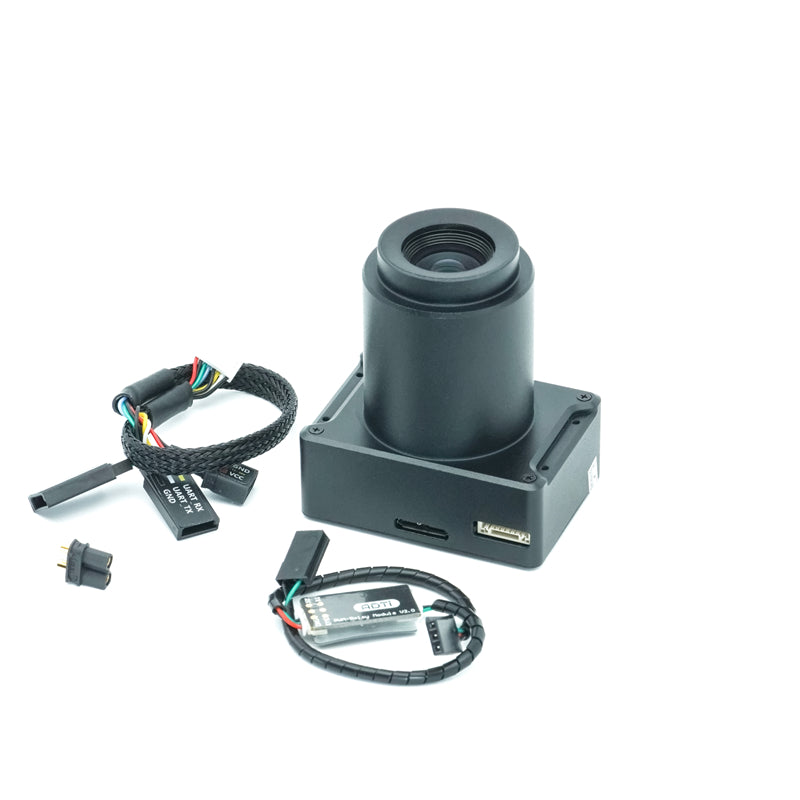
- Built-in Multi-Interface hot shoe output for PPK
- Directly Geo-tagging function (optional )
- full aluminum structure
26S V1 Camera consists of Sony IMX571 sensor with Socionext Imaging processor-Milbeaut®, which capture high quality images, with low heatup.
Image Sensor
Sensor Type:CMOS
Sensor Manufacturer:Sony
Effective Megapixels:26.1
Sensor Format:APS-C
Sensor size:365.04mm2 (23.4mm x 15.6mm)
Approximate Pixel Pitch:4.88 microns
Focal Length Multiplier:1.0x
Aspect Ratio:3:2
Color Filter Type:RGBG
Anti Aliasing Filter:None
Color Depth (bits):25.6
Maximum Effective ISO:2,749
Image Capture
Image Resolution:
6192 x 4128 (26 MP, 3:2)
4800 x 3200 (15.4 MP, 3:2)
3680 x 2456 (9.0 MP, 3:2)
4800 x 3200 (15.4 MP, 3:2)
3680 x 2456 (9.0 MP, 3:2)
2400 x 1600 (3.8 MP, 3:2)
Image File Format:JPEG
Continuous-mode frames/second:2.0
Shutter speed MAX0.7s,recommend 1s
Video Capture
Video Resolution:
1920x1080 (60p(28Mbps)
640x480 (30p(3Mbps))
Video File Format: MP4
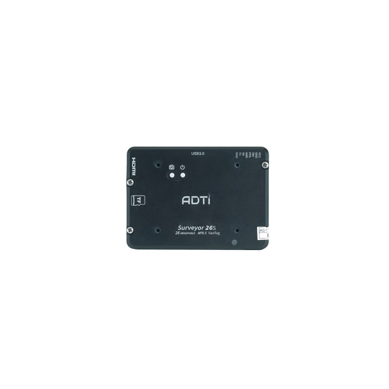
HD Video Out:Yes
HD Video Connection:HDMI
Lens & Optics
25mm fixed lens:
Manual fixed focus (ortho)NON-interchangeable
37.5mm equivalent Focal Length
FOV 59°
distortion<0.5%
Auto Focus No
Manual Focus Yes
Aperture F5.6
35mm fixed lens:
Manual fixed focus (ortho)NON-interchangeable
52mm equivalent Focal Length
FOV 45°
distortion<0.02%
Auto Focus No
Manual Focus Yes
Aperture F5.6
16mm fixed lens:
Manual fixed focus (ortho)NON-interchangeable
24.5mm equivalent Focal Length
FOV 89°
distortion<0.01%
Auto Focus No
Manual Focus Yes
Aperture F5.6
Camera
Camera Size: 5.8*5.8*2.3 cm
Weight with lens: 71 g (module no case) / 122 g (Aluminum case)
Package Size: 14.5*10*6 cm
Package Weight: 500 g
Power: 12-24V DC Lipo or Liion
Operating Temperature: -10 to 40°C


